|
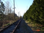
Looking south along the rail line from the 16th Avenue crossing. Here the rail
line is sandwiched between two parallel streets, Arbutus Street on the right
and East Boulevard on the left. Arbutus is a major north-south connector street
with four driving lanes at this point. East Boulevard provides access to five
consecutive city blocks where single family residential properties have been
developed on the east side.
|
|
|
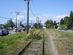
Looking north from the 17th Avenue pedestrian crossing. Arbutus Street is on
the left and East Boulevard is on the right. Residential development is apparent
to the right of East Boulevard.
|
|
|
Looking northwest from the 17th Avenue pedestrian crossing. A commercial development
at the NW corner of Arbutus Street and 16th Avenue is visible at the left side of the
photo.
|
|
|
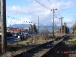
Looking southeast along the tracks from the West King Edward Avenue crossing. The
B.C. Hydro Sperling Substation is visible to the right of the tracks.
|
|
|
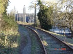
Looking northwest along the tracks near the B.C. Hydro Sperling Substation. The
large building on the left side of the tracks is the electric substation. Maple
Crescent is parallel to the rail corridor behind the large hedge on the right.
The photo also shows several overhead electric transmission lines located within
the railway right of way.
|
|
|
Looking north from the 17th Avenue pedestrian crossing. This photo is taken from
the same location as one of the March 2006 photos above.
|
|
|
Looking northwest along the tracks near the B.C. Hydro Sperling Substation. This
photo is taken from the same location as one of the March 2006 photos above.
|
|
|
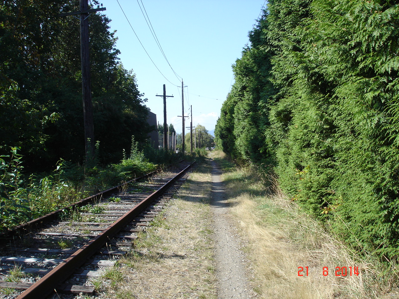
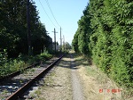
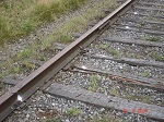
Close up view of the track near the West 64th Avenue pedestrian crossing. This
photo reveals deterioration in the ties and track. The spray painted white spots
appear to identify parts that require repair or replacement.
|
|
|
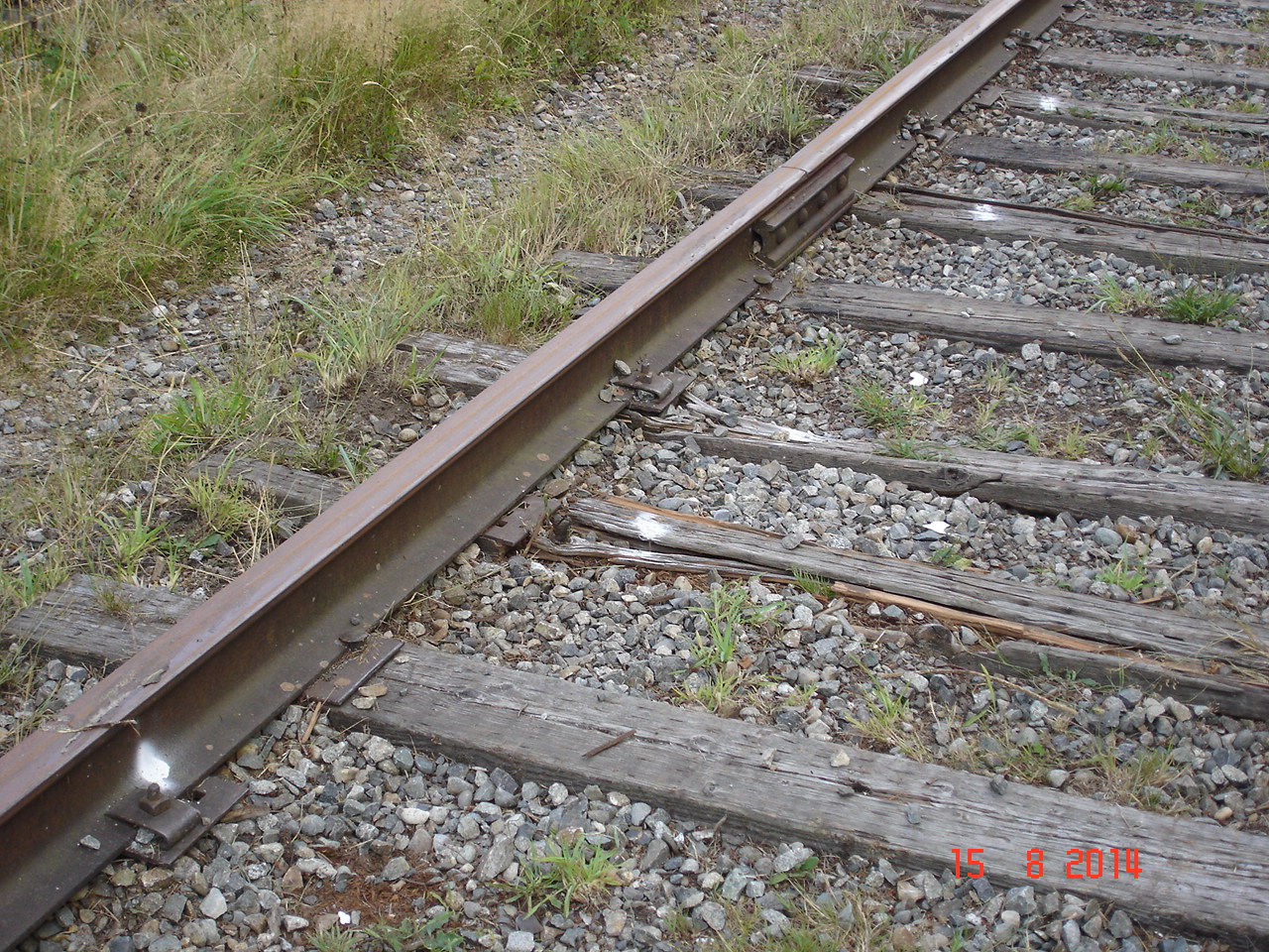
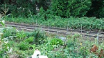
Garden located on the railway right of way near West 68th Avenue.
|
|
|
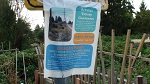
Public notice stapled to a trellis located in a garden on the right of way near
West 68th Avenue.
|

|
|
Public notice taped to a street sign adjacent to the East Boulevard Community Garden.
|
|
|
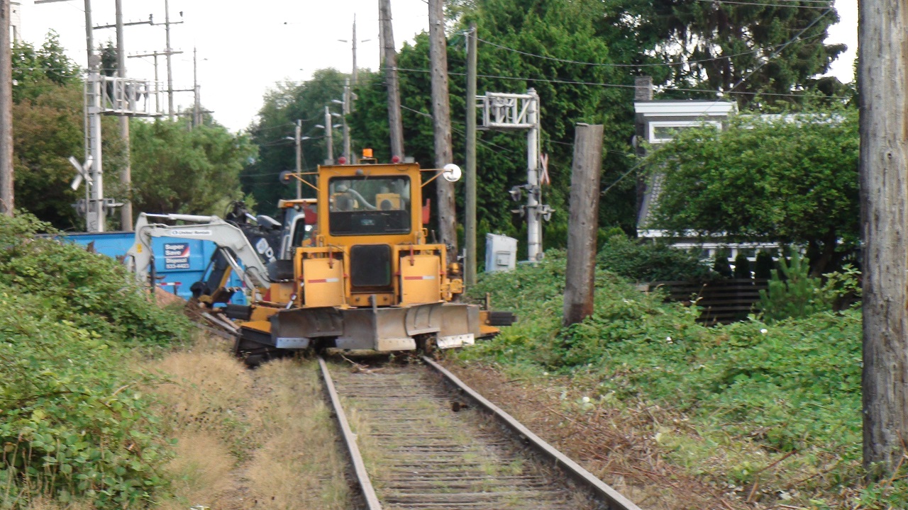
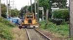
Railway ballast maintenance equipment is shown parked on the track a short distance
north of the SW Marine Drive crossing. This equipment was used during clearing
operations in August 2014.
|
|
|
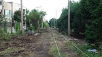
Looking south from the SW Marine Drive crossing where clearing operations took
place on August 15, 2014.
|
|
|
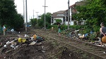
Looking north towards the SW Marine Drive crossing on August 15, 2014.
The photo was taken in the early evening when numerous visitors were in attendance
inspecting the recent changes.
|
|
|
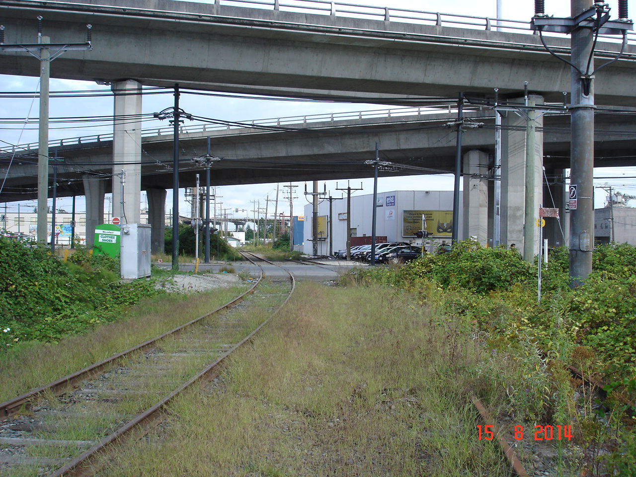
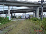
Looking east near the southern limit of the Arbutus section of the railway. The
Hudson Street crossing is visible and the junction with the active rail line that
continues to New Westminster lies a short distance beyond. The north approach ramps
for the Arthur Laing bridge are overhead.
|
|